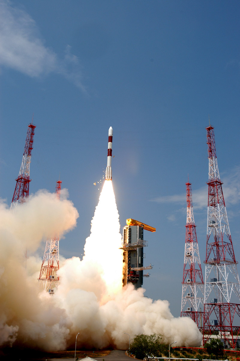
 India today used PSLV-C6 to place two more satellites – CARTOSAT-1 and HAMSAT in orbit.
CARTOSAT-1: CARTOSAT-1 is the eleventh satellite in the Indian remote sensing satellite series. It is intended for cartographic applications. It carries two panchromatic cameras that take black-and-white stereoscopic pictures in the visible region of the electromagnetic spectrum. The imageries will have a spatial resolution of 2.5 metre and cover a swath of 30 km. The imageries will be useful for generating digital elevation maps for urban and rural development, land and water resources management, disaster assessment, relief planning and management and environmental impact assessment. CARTOSAT-1 also carries a Solid State Recorder with a capacity of 120 Giga Bits to store the images taken by its cameras. (http://www.isro.org/pressrelease/May05_2005.htm)
Today will be a memorable day for a number of reasons.
– PSLV-C6 currently in its 9th flight soared to the sky from the newly setup second launch pad in Sriharikota. This is the first launch for the new launch pad.
– The CARTOSAT, weighing 1560 kg, is the highest pay load that the Polar Satellite Launch Vehicle has launched so far.
– For the first time two Indian satellites were put in the orbit by a single launch vehicle.
– CARTOSAT-1 is the first ever satellite with a stereographic imaging system to exist in the civil sector which will function as mapping satellite.
– Over the last 12 years, Indian rockets have achieved 12 consecutive successful launches.
Salutes to all those dedicated scientists, engineers and technicians who made this success a possibility.